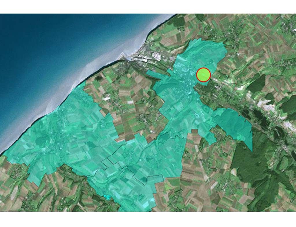
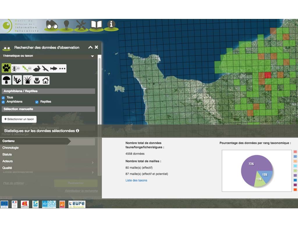
The ODIN project (a naturalist information spread tool) of Normandy region, rely on the expertise of Geomatys for its platform development. It offers raw data on fauna, flora and habitat in Normandy, synthesis maps and treatment services.
The project
Creation of the regional platform for the Nature and Landscape Information System (SINP) for Upper Normandy:
Sharing of nature data on a central platform;
Distribution of information via web services and an application;
Advanced search functions;
Distribution control for sensitive data;
Management of public and private data and the associated intellectual property rights;
Data integration, validation and transformation services;
Collaborative directory tools for the entities involved and tools for enhancing scientific reference documents;
Interoperability with the national and theme-based platforms.
GEOMATYS Contributions
Expertise in Geomatics
Data storage, processing and presentation adapted to field expert’s requirement
Specialisation of the Geomatys team in the biodiversity field